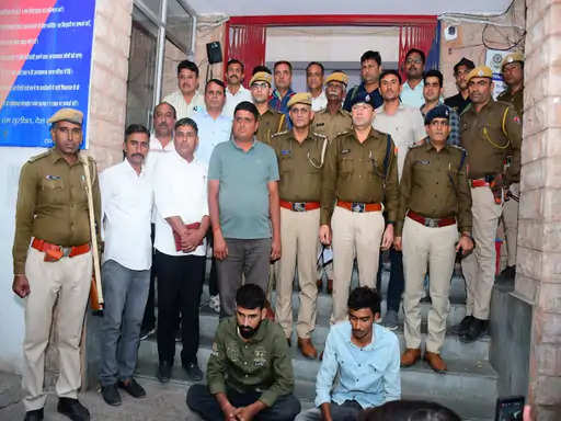
Udaipur News Desk: A 21-day training program on the use of geospatial technology was inaugurated on Monday at Udaipur University. Dr. Prakash Chauhan, Director of ISRO’s National Remote Sensing Centre, Hyderabad, said that the use of geospatial technology is included in every activity of human life.

Correct and reliable assessment of the physical form of an area, availability of land, water, bio-solar energy and development works there can be done through geospatial technology. Dr. Chauhan was speaking in the inaugural session of the training program. Dr. Shubha Pandey, senior scientist of the Science and Technology Division of the Government of India, said that the Government of India is determined that the use of geospatial technology becomes a part of the lives of the common people. Government personnel from 5 states, teachers from colleges and universities are participating in the training.


