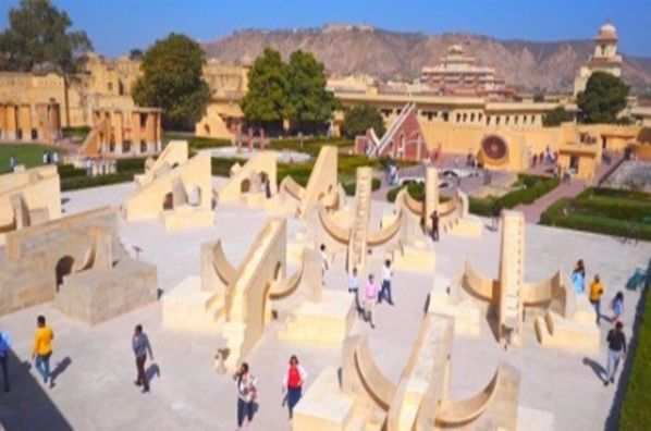
Jaipur : The Center introduced Fastag to reduce the time spent at toll plazas. It proved effective for a few days, but now again long queues have started forming at the toll plazas of the National Highway. To get rid of the long queues, the National Highway Authority of India is now preparing to bring GNSS (Global Navigation Satellite System). In the coming time, GNSS based best electronic toll system will work in the country, which will be barrier free. The National Highway Authority of India (NHAI) has invited such companies from India and abroad, which are working on the toll system with the help of GNSS. The companies will be talked to in July and after that it will be tested on any one national highway as an experiment.
GNSS will solve the problem
A large number of highways-expressways have been started in the country, but the purchase of vehicles has also increased at the same pace. Fasttags do not work many times. This often takes time to pay toll tax. Despite fasttags, there is a queue of up to 200-500 meters on many national highways. GNSS is going to be used to solve this problem. Its purpose is to implement a global navigation satellite system based electronic toll collection system, which will eliminate the need for physical toll booths.
Benefit to NHAI and drivers
With the implementation of GNSS based toll system, smooth movement of vehicles on national highways will be easy. Time taken in toll collection will be saved. It is a distance based toll system. Due to this, users will have to pay only for the distance covered. Toll collection will increase due to stopping of toll theft.
Less distance, less toll
With the GNSS based toll system, vehicles travelling short distance on toll road will have to pay less toll and vehicles travelling long distance will save time.
How the toll will be deducted will also be decided
The companies will also tell how toll will be deducted from the GNSS based toll system. Will the toll be deducted from the car number or will a chip have to be installed on the vehicles? Answers to all these questions will probably be found by the end of this year.
This is how you can understand the math behind toll deduction through GNSS
A vehicle is moving on the six lanes from Jaipur to Kishangarh. The toll road starts near the 200 feet bypass in Jaipur. As soon as your car comes on this highway, the GNSS will directly capture it. After this, the vehicle will have to pay toll only for the number of km it travels on that highway. For example, if you travel 50 km on this highway and as per the rules NHAI charges one rupee as toll per km, then only fifty rupees will be charged from you. This is not the case now. Whether you travel 20 km or 80 km, if a toll plaza comes within 20 km and the toll on that is fifty rupees, then you have to pay only fifty rupees.
What is GNSS technology?
The system uses satellites to monitor vehicle movements and calculate tolls based on the distance travelled on tolled highways. GNSS-enabled on-board units (OBUs) will be installed in vehicles. The toll will be charged based on the distance travelled on the highway.
For now, Fastag will continue to work
The FASTag system will not be phased out immediately. NHAI plans to implement a GNSS-based electronic toll collection (ETC) system within the existing FASTag ecosystem. A hybrid model will be used initially, where both RFID-based ETC and GNSS-based ETC will work together.